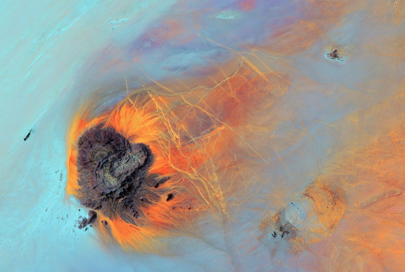
United States Geological Survey (USGS) on Unsplash
[Rerun] Global evaluation of the Earth
Decades of data from satellite remote sensing has provided a better understanding of the climate system and its changes, by quantifying processes and states of the atmosphere, land and oceans.
Henrik Prætorius from Science Stories takes a closer look at four myths about Mother Earth with Professor Rasmus Fensholt, Department of Geosciences and Nature Management at the University of Copenhagen (in Danish).
Follow Science Stories on: Apple Podcast, Spotify, Spreaker, Google Podcasts, Podimo, YouTube, Twitter, Facebook, and Instagram.